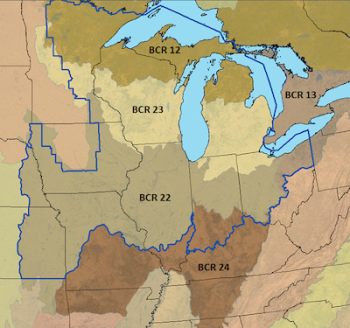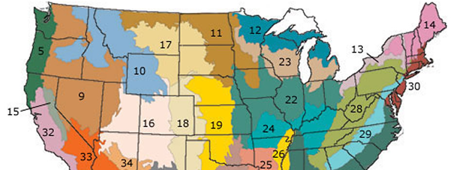
The Upper Mississippi River and Great Lakes JV, in conjunction with partners, recently completed a series of “State by Bird Conservation Region (BCR)” assessments that provide updated and refined information to assist partners in decision making for bird habitat conservation. The assessments step down Joint Venture Implementation Plan habitat objectives by each state, using recent spatial data to evaluate the suitability of established focal species habitat objectives. It does so by comparing these objectives with the area of cover type associated with that species and assessing the capacity of the landscape to support conservation.
The assessments also include primary modes of recent land cover conversion and general bird management implications based on how existing land cover relates to Joint Venture-established bird habitat objectives. Although imperfect, these spatial data are helpful for indicating land use and patterns of change. They are also useful in identifying major disparities between bird habitat objectives and available land covers.
The State x BCR Assessments resulted from a three-year effort by Joint Venture staff, primarily scientists Ben Kahler and Rachael Pierce, with assistance from 28 reviewers. A total of 17 assessments was completed accounting for more than 97% coverage of the Joint Venture region. New knowledge gained during the assessment development, combined with periodic updating and refinement of spatial data, new bird research and monitoring results, and partner priorities, will improve future versions of the Joint Venture Implementation Plan and Bird Group Conservation Strategies.
The full set of assessments, summaries, and associated planning tools are available on the Joint Venture website.